 vesseltracker.com
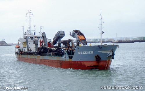
Vessel Basrah IMO: 9071131, MMSI: 425001043 Dredger
UTC, 30.05922, 47.92780, course: -1, speed: 0
UTC, 30.05942, 47.92775, course: -1, speed: 0
2026-02-06 09:44:14 UTC, 30.06191, 47.93409, course: -1, speed: 0
Live AIS position:
UTC. Near Umm Qasr Port),
updated 2026-02-06 09:44:14 UTC.
Find the position of the vessel Basrah on the map. The latter are known coordinates and path.
marine traffic ship tracker show on live map
The current position of vessel Basrah is 30.06191 lat / 47.93409 lng. Updated: 2026-02-06 09:44:14 UTCDetails:
Last coordinates of the vessel:
UTC, 30.05923, 47.92780, course: -1, speed: 0UTC, 30.05922, 47.92780, course: -1, speed: 0
UTC, 30.05942, 47.92775, course: -1, speed: 0
2026-02-06 09:44:14 UTC, 30.06191, 47.93409, course: -1, speed: 0