 vesseltracker.com
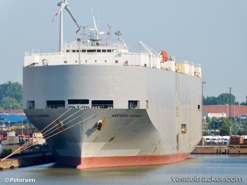
Vessel Arcadia Highway IMO: 9078842, MMSI: 354342000 Vehicles Carrier
UTC, 6.99110, 158.15895, course: 60, speed: 0.2
UTC, 6.99112, 158.15906, course: 65, speed: 0.2
2026-02-17 06:39:24 UTC, 6.99130, 158.15887, course: 82, speed: 0.1
Live AIS position:
UTC. 64 nm W of Ponape),
updated 2026-02-17 06:39:24 UTC.
Find the position of the vessel Arcadia Highway on the map. The latter are known coordinates and path.
marine traffic ship tracker show on live map
The current position of vessel Arcadia Highway is 6.99130 lat / 158.15887 lng. Updated: 2026-02-17 06:39:24 UTCCurrently sailing under the flag of Panama
Arcadia Highway built in 1995 year
Deadweight:
15507 tDetails:
Last coordinates of the vessel:
UTC, 6.99118, 158.15894, course: 70, speed: 0.2UTC, 6.99110, 158.15895, course: 60, speed: 0.2
UTC, 6.99112, 158.15906, course: 65, speed: 0.2
2026-02-17 06:39:24 UTC, 6.99130, 158.15887, course: 82, speed: 0.1