 vesseltracker.com
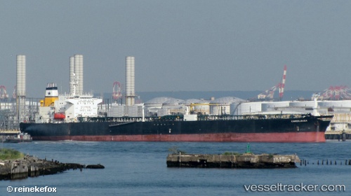
Vessel Golden Gulf IMO: 9081813, MMSI: 374188000 Crude Oil Tanker
UTC, 51.43598, 2.62265, course: 58, speed: 0
UTC, 51.43500, 2.62167, course: -1, speed: 0
2026-02-09 04:15:23 UTC, 51.43866, 2.62671, course: 206, speed: 0
Live AIS position:
UTC. 16 nm SW of Thorntonbank),
updated 2026-02-09 04:15:23 UTC.
Find the position of the vessel Golden Gulf on the map. The latter are known coordinates and path.
marine traffic ship tracker show on live map
The current position of vessel Golden Gulf is 51.43866 lat / 2.62671 lng. Updated: 2026-02-09 04:15:23 UTCDetails:
Last coordinates of the vessel:
UTC, 51.43667, 2.62167, course: -1, speed: 0UTC, 51.43598, 2.62265, course: 58, speed: 0
UTC, 51.43500, 2.62167, course: -1, speed: 0
2026-02-09 04:15:23 UTC, 51.43866, 2.62671, course: 206, speed: 0