 vesseltracker.com
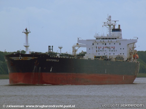
Vessel Opal Sea IMO: 9081825, MMSI: 374136000 Crude Oil Tanker
UTC, 25.82333, -93.70167, course: -1, speed: 11
UTC, 25.70667, -93.16333, course: -1, speed: 11
2026-02-28 02:22:05 UTC, 25.58500, -92.62500, course: -1, speed: 11
Live AIS position:
UTC. 162 nm SW of Gulfmex Lightering Area),
updated 2026-02-28 02:22:05 UTC.
Find the position of the vessel Opal Sea on the map. The latter are known coordinates and path.
marine traffic ship tracker show on live map
The current position of vessel Opal Sea is 25.58500 lat / -92.62500 lng. Updated: 2026-02-28 02:22:05 UTCDetails:
Last coordinates of the vessel:
UTC, 25.93167, -94.03167, course: -1, speed: 11UTC, 25.82333, -93.70167, course: -1, speed: 11
UTC, 25.70667, -93.16333, course: -1, speed: 11
2026-02-28 02:22:05 UTC, 25.58500, -92.62500, course: -1, speed: 11