 vesseltracker.com
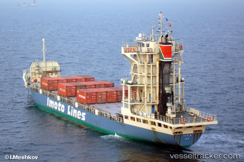
Vessel Ikuta IMO: 9089683, MMSI: 431501857 Container Ship
UTC, 36.76769, 140.98479, course: 12, speed: 13
UTC, 37.08418, 141.07640, course: 2, speed: 9.6
2026-02-07 21:58:56 UTC, 37.37843, 141.10925, course: 2, speed: 10.5
Live AIS position:
UTC. 17 nm SE of Minamisoma),
updated 2026-02-07 21:58:56 UTC.
Find the position of the vessel Ikuta on the map. The latter are known coordinates and path.
marine traffic ship tracker show on live map
The current position of vessel Ikuta is 37.37843 lat / 141.10925 lng. Updated: 2026-02-07 21:58:56 UTCCurrently sailing under the flag of Japan
Ikuta built in 2006 year
Deadweight:
1830 tDetails:
Last coordinates of the vessel:
UTC, 36.22865, 140.89536, course: 359, speed: 12.5UTC, 36.76769, 140.98479, course: 12, speed: 13
UTC, 37.08418, 141.07640, course: 2, speed: 9.6
2026-02-07 21:58:56 UTC, 37.37843, 141.10925, course: 2, speed: 10.5