 vesseltracker.com
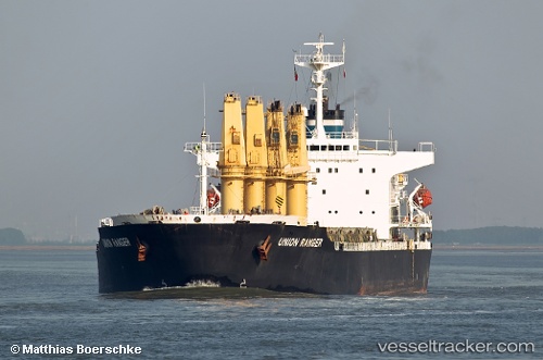
Vessel Ali M IMO: 9104562, MMSI: 518100369 Bulk Carrier
UTC, -86.68475, 159.91013, course: 3, speed: 71.1
2026-02-02 15:20:10 UTC, -86.68475, 159.91013, course: 3, speed: 71.1
Live AIS position:
UTC. 198 nm N of Amundsen-Scott),
updated 2026-02-02 15:20:10 UTC.
Find the position of the vessel Ali M on the map. The latter are known coordinates and path.
marine traffic ship tracker show on live map
The current position of vessel Ali M is -86.68475 lat / 159.91013 lng. Updated: 2026-02-02 15:20:10 UTCDetails:
Last coordinates of the vessel:
UTC, -86.68475, 159.91013, course: 3, speed: 71.1UTC, -86.68475, 159.91013, course: 3, speed: 71.1
2026-02-02 15:20:10 UTC, -86.68475, 159.91013, course: 3, speed: 71.1