 vesseltracker.com
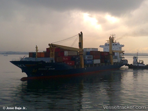
Vessel Chana Bhum IMO: 9112686, MMSI: 564029000 Container Ship
UTC, 12.31667, 97.18500, course: -1, speed: 14
UTC, 11.80333, 97.29500, course: -1, speed: 14
2026-02-09 08:03:16 UTC, 11.35333, 97.37167, course: -1, speed: 15
Live AIS position:
UTC. 106 nm SW of Tanintharyi),
updated 2026-02-09 08:03:16 UTC.
Find the position of the vessel Chana Bhum on the map. The latter are known coordinates and path.
marine traffic ship tracker show on live map
The current position of vessel Chana Bhum is 11.35333 lat / 97.37167 lng. Updated: 2026-02-09 08:03:16 UTCCurrently sailing under the flag of Singapore
Chana Bhum built in 1996 year
Deadweight:
13825 tDetails:
Last coordinates of the vessel:
UTC, 13.06167, 97.06500, course: -1, speed: 14UTC, 12.31667, 97.18500, course: -1, speed: 14
UTC, 11.80333, 97.29500, course: -1, speed: 14
2026-02-09 08:03:16 UTC, 11.35333, 97.37167, course: -1, speed: 15