 vesseltracker.com
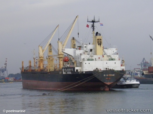
Vessel Judi Alamar IMO: 9114610, MMSI: 312119000 Bulk Carrier
UTC, 31.17101, 29.85699, course: 114, speed: 5.3
UTC, 31.17080, 29.85635, course: 114, speed: 0
2026-01-18 11:14:13 UTC, 31.17079, 29.85640, course: 114, speed: 0
Live AIS position:
UTC. Near Alexandria),
updated 2026-01-18 11:14:13 UTC.
Find the position of the vessel Judi Alamar on the map. The latter are known coordinates and path.
marine traffic ship tracker show on live map
The current position of vessel Judi Alamar is 31.17079 lat / 29.85640 lng. Updated: 2026-01-18 11:14:13 UTCCurrently sailing under the flag of Belize
Judi Alamar built in 1995 year
Deadweight:
28760 tDetails:
Last coordinates of the vessel:
UTC, 31.17069, 29.85630, course: 114, speed: 0UTC, 31.17101, 29.85699, course: 114, speed: 5.3
UTC, 31.17080, 29.85635, course: 114, speed: 0
2026-01-18 11:14:13 UTC, 31.17079, 29.85640, course: 114, speed: 0