 vesseltracker.com
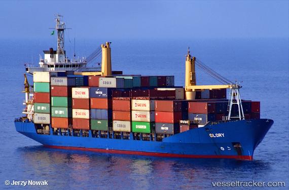
Vessel Nadia IMO: 9122461, MMSI: 341765000 Container Ship
UTC, 40.62045, 27.30216, course: 70, speed: 9.9
UTC, 40.75316, 27.81819, course: 80, speed: 10.7
2026-02-11 07:37:10 UTC, 40.78683, 28.09785, course: 84, speed: 11.3
Live AIS position:
UTC. 12 nm SE of Marmara Ereglisi),
updated 2026-02-11 07:37:10 UTC.
Find the position of the vessel Nadia on the map. The latter are known coordinates and path.
marine traffic ship tracker show on live map
The current position of vessel Nadia is 40.78683 lat / 28.09785 lng. Updated: 2026-02-11 07:37:10 UTCCurrently sailing under the flag of Saint Kitts and Nevis
Details:
Last coordinates of the vessel:
UTC, 40.45088, 26.81554, course: 68, speed: 10.3UTC, 40.62045, 27.30216, course: 70, speed: 9.9
UTC, 40.75316, 27.81819, course: 80, speed: 10.7
2026-02-11 07:37:10 UTC, 40.78683, 28.09785, course: 84, speed: 11.3