 vesseltracker.com
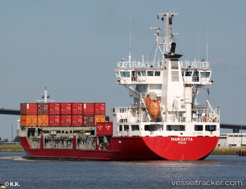
Vessel Marjatta IMO: 9126247, MMSI: 230352000 Multi Purpose Carrier
UTC, 54.35233, 9.89433, course: 119, speed: 6.5
UTC, 54.42017, 10.21867, course: 33, speed: 11
2026-02-21 10:25:51 UTC, 54.57600, 10.90483, course: 84, speed: 14.5
Live AIS position:
UTC. Near Süsel),
updated 2026-02-21 10:25:51 UTC.
Find the position of the vessel Marjatta on the map. The latter are known coordinates and path.
marine traffic ship tracker show on live map
The current position of vessel Marjatta is 54.57600 lat / 10.90483 lng. Updated: 2026-02-21 10:25:51 UTCCurrently sailing under the flag of Finland
Marjatta built in 1996 year
Deadweight:
6410 tDetails:
Last coordinates of the vessel:
UTC, 54.21967, 9.59400, course: 38, speed: 6.9UTC, 54.35233, 9.89433, course: 119, speed: 6.5
UTC, 54.42017, 10.21867, course: 33, speed: 11
2026-02-21 10:25:51 UTC, 54.57600, 10.90483, course: 84, speed: 14.5