 vesseltracker.com
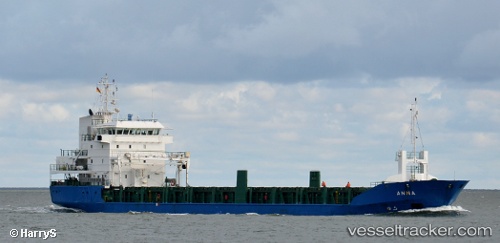
Vessel Laura IMO: 9126716, MMSI: 677045900 Multi Purpose Carrier
UTC, -6.14590, 39.18965, course: -1, speed: 0
UTC, -6.14598, 39.18976, course: -1, speed: 0.1
2026-02-13 22:18:53 UTC, -6.14579, 39.18963, course: -1, speed: 0
Live AIS position:
UTC. Near Zanzibar),
updated 2026-02-13 22:18:53 UTC.
Find the position of the vessel Laura on the map. The latter are known coordinates and path.
marine traffic ship tracker show on live map
The current position of vessel Laura is -6.14579 lat / 39.18963 lng. Updated: 2026-02-13 22:18:53 UTCDetails:
Last coordinates of the vessel:
UTC, -6.14600, 39.18970, course: -1, speed: 0.2UTC, -6.14590, 39.18965, course: -1, speed: 0
UTC, -6.14598, 39.18976, course: -1, speed: 0.1
2026-02-13 22:18:53 UTC, -6.14579, 39.18963, course: -1, speed: 0