 vesseltracker.com
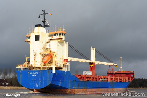
Vessel NEREY IMO: 9129445, MMSI: 273416640 General Cargo
UTC, 29.34369, 123.81312, course: 36, speed: 10
UTC, 29.56327, 124.00858, course: 24, speed: 9.5
2026-02-03 10:10:28 UTC, 29.94248, 124.31251, course: 58, speed: 9.3
Live AIS position:
UTC. 102 nm SE of Lü-hua Shan),
updated 2026-02-03 10:10:28 UTC.
Find the position of the vessel NEREY on the map. The latter are known coordinates and path.
marine traffic ship tracker show on live map
The current position of vessel NEREY is 29.94248 lat / 124.31251 lng. Updated: 2026-02-03 10:10:28 UTCCurrently sailing under the flag of Russia
NEREY built in 1996 year
Deadweight:
8973 tDetails:
Last coordinates of the vessel:
UTC, 29.16333, 123.64833, course: -1, speed: 10UTC, 29.34369, 123.81312, course: 36, speed: 10
UTC, 29.56327, 124.00858, course: 24, speed: 9.5
2026-02-03 10:10:28 UTC, 29.94248, 124.31251, course: 58, speed: 9.3