 vesseltracker.com
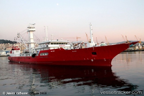
Vessel Doniene IMO: 9130779, MMSI: 224464000 Fishing Vessel
UTC, -11.84704, 46.10414, course: 191, speed: 14.8
UTC, -11.84704, 46.10414, course: 191, speed: 14.8
2026-02-09 22:03:46 UTC, -14.58937, 44.97752, course: 346, speed: 0.9
Live AIS position:
UTC. 100 nm S of Chirongui),
updated 2026-02-09 22:03:46 UTC.
Find the position of the vessel Doniene on the map. The latter are known coordinates and path.
marine traffic ship tracker show on live map
The current position of vessel Doniene is -14.58937 lat / 44.97752 lng. Updated: 2026-02-09 22:03:46 UTCDetails:
Last coordinates of the vessel:
UTC, -11.84704, 46.10414, course: 191, speed: 14.8UTC, -11.84704, 46.10414, course: 191, speed: 14.8
UTC, -11.84704, 46.10414, course: 191, speed: 14.8
2026-02-09 22:03:46 UTC, -14.58937, 44.97752, course: 346, speed: 0.9