 vesseltracker.com
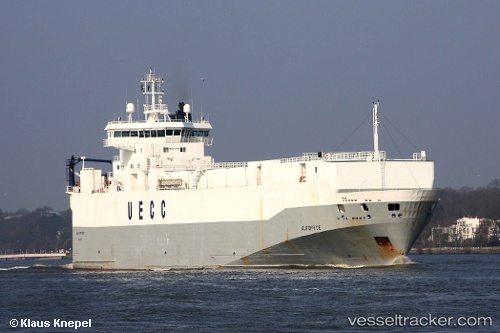
Vessel MINCHAH IMO: 9131955, MMSI: 352001233 Vehicles Carrier
UTC, 25.56333, -76.44833, course: -1, speed: 9
UTC, 25.67667, -76.74667, course: -1, speed: 9
2026-02-13 01:46:20 UTC, 25.74167, -77.08167, course: -1, speed: 7
Live AIS position:
UTC. 21 nm NW of Spanish Wells),
updated 2026-02-13 01:46:20 UTC.
Find the position of the vessel MINCHAH on the map. The latter are known coordinates and path.
marine traffic ship tracker show on live map
The current position of vessel MINCHAH is 25.74167 lat / -77.08167 lng. Updated: 2026-02-13 01:46:20 UTCCurrently sailing under the flag of Panama
MINCHAH built in 1997 year
Deadweight:
4442 tDetails:
Last coordinates of the vessel:
UTC, 25.44667, -76.25167, course: -1, speed: 9UTC, 25.56333, -76.44833, course: -1, speed: 9
UTC, 25.67667, -76.74667, course: -1, speed: 9
2026-02-13 01:46:20 UTC, 25.74167, -77.08167, course: -1, speed: 7