 vesseltracker.com
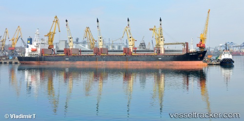
Vessel Harmony Six IMO: 9133288, MMSI: 374080000 Bulk Carrier
UTC, -0.33597, 158.49812, course: 132, speed: 9.2
UTC, -0.50013, 158.66672, course: 128, speed: 9.2
2026-02-10 13:31:05 UTC, -0.73233, 158.91808, course: 141, speed: 8.9
Live AIS position:
UTC. 385 nm NE of Anewa Bay),
updated 2026-02-10 13:31:05 UTC.
Find the position of the vessel Harmony Six on the map. The latter are known coordinates and path.
marine traffic ship tracker show on live map
The current position of vessel Harmony Six is -0.73233 lat / 158.91808 lng. Updated: 2026-02-10 13:31:05 UTCCurrently sailing under the flag of Panama
Harmony Six built in 1996 year
Deadweight:
28716 tDetails:
Last coordinates of the vessel:
UTC, -0.16183, 158.30946, course: 132, speed: 8.9UTC, -0.33597, 158.49812, course: 132, speed: 9.2
UTC, -0.50013, 158.66672, course: 128, speed: 9.2
2026-02-10 13:31:05 UTC, -0.73233, 158.91808, course: 141, speed: 8.9