 vesseltracker.com
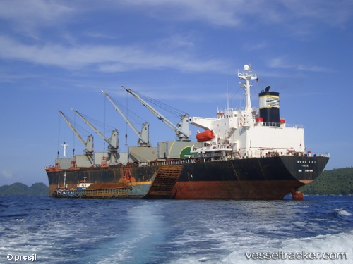
Vessel Hong Kai IMO: 9139995, MMSI: 352519000 Bulk Carrier
UTC, 16.72758, 67.62164, course: -1, speed: 10.1
UTC, 16.54833, 67.83167, course: -1, speed: 10
2026-03-01 13:22:25 UTC, 16.30958, 68.11258, course: -1, speed: 9.9
Live AIS position:
UTC. 300 nm W of JAIGAD),
updated 2026-03-01 13:22:25 UTC.
Find the position of the vessel Hong Kai on the map. The latter are known coordinates and path.
marine traffic ship tracker show on live map
The current position of vessel Hong Kai is 16.30958 lat / 68.11258 lng. Updated: 2026-03-01 13:22:25 UTCDetails:
Last coordinates of the vessel:
UTC, 16.99667, 67.32167, course: -1, speed: 10UTC, 16.72758, 67.62164, course: -1, speed: 10.1
UTC, 16.54833, 67.83167, course: -1, speed: 10
2026-03-01 13:22:25 UTC, 16.30958, 68.11258, course: -1, speed: 9.9