 vesseltracker.com
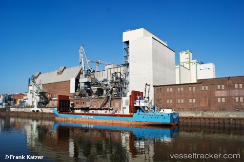
Vessel Wilson Maas IMO: 9145554, MMSI: 314217000 Multi Purpose Carrier
UTC, 55.94951, 6.23623, course: 203, speed: 8.7
UTC, 55.74325, 6.09176, course: 202, speed: 8.9
2026-02-17 23:13:33 UTC, 55.54466, 5.93915, course: 199, speed: 8.6
Live AIS position:
UTC. 23 nm SE of Claonaig),
updated 2026-02-17 23:13:33 UTC.
Find the position of the vessel Wilson Maas on the map. The latter are known coordinates and path.
marine traffic ship tracker show on live map
The current position of vessel Wilson Maas is 55.54466 lat / 5.93915 lng. Updated: 2026-02-17 23:13:33 UTCCurrently sailing under the flag of Barbados
Wilson Maas built in 1997 year
Deadweight:
1847 tDetails:
Last coordinates of the vessel:
UTC, 56.20521, 6.41570, course: 201, speed: 8.4UTC, 55.94951, 6.23623, course: 203, speed: 8.7
UTC, 55.74325, 6.09176, course: 202, speed: 8.9
2026-02-17 23:13:33 UTC, 55.54466, 5.93915, course: 199, speed: 8.6