 vesseltracker.com
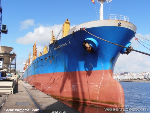
Vessel Maria L IMO: 9153496, MMSI: 636017823 Bulk Carrier
2026-02-27 15:35:37 UTC, -55.70503, 152.12967, course: 26, speed: 34.6
Live AIS position:
UTC. 245 nm W of Macquarie Island),
updated 2026-02-27 15:35:37 UTC.
Find the position of the vessel Maria L on the map. The latter are known coordinates and path.
marine traffic ship tracker show on live map
The current position of vessel Maria L is -55.70503 lat / 152.12967 lng. Updated: 2026-02-27 15:35:37 UTCCurrently sailing under the flag of Liberia
Maria L built in 1998 year
Deadweight:
28404 tDetails:
Last coordinates of the vessel:
UTC, -55.70503, 152.12967, course: 26, speed: 34.62026-02-27 15:35:37 UTC, -55.70503, 152.12967, course: 26, speed: 34.6