 vesseltracker.com
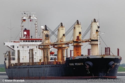
Vessel Jumana IMO: 9154854, MMSI: 353070000 Bulk Carrier
UTC, 33.97259, 35.56219, course: 241, speed: 0.1
UTC, 33.97270, 35.56196, course: 241, speed: 0.2
2026-02-19 21:32:51 UTC, 33.97266, 35.56206, course: 248, speed: 0.5
Live AIS position:
UTC. Near Ad Dubayyah),
updated 2026-02-19 21:32:51 UTC.
Find the position of the vessel Jumana on the map. The latter are known coordinates and path.
marine traffic ship tracker show on live map
The current position of vessel Jumana is 33.97266 lat / 35.56206 lng. Updated: 2026-02-19 21:32:51 UTCDetails:
Last coordinates of the vessel:
UTC, 33.97247, 35.56263, course: 268, speed: 0.4UTC, 33.97259, 35.56219, course: 241, speed: 0.1
UTC, 33.97270, 35.56196, course: 241, speed: 0.2
2026-02-19 21:32:51 UTC, 33.97266, 35.56206, course: 248, speed: 0.5