 vesseltracker.com
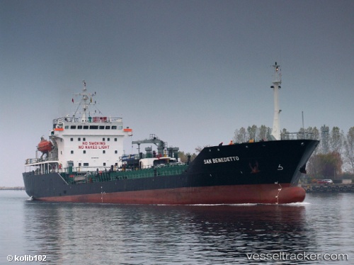
Vessel Hercules IMO: 9155248, MMSI: 511100348 Asphalt Bitumen Tanker
UTC, 41.28376, 28.98818, course: 217, speed: 0
UTC, 41.28148, 28.98876, course: 100, speed: 3.6
2026-01-05 10:39:02 UTC, 41.28599, 28.99898, course: 43, speed: 3.9
Live AIS position:
UTC. Near RUMELI FENERI),
updated 2026-01-05 10:39:02 UTC.
Find the position of the vessel Hercules on the map. The latter are known coordinates and path.
marine traffic ship tracker show on live map
The current position of vessel Hercules is 41.28599 lat / 28.99898 lng. Updated: 2026-01-05 10:39:02 UTCCurrently sailing under the flag of Palau
Details:
Last coordinates of the vessel:
UTC, 41.28359, 28.98825, course: 226, speed: 0UTC, 41.28376, 28.98818, course: 217, speed: 0
UTC, 41.28148, 28.98876, course: 100, speed: 3.6
2026-01-05 10:39:02 UTC, 41.28599, 28.99898, course: 43, speed: 3.9