 vesseltracker.com
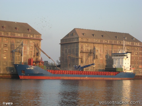
Vessel Lister IMO: 9155963, MMSI: 231023000 Multi Purpose Carrier
UTC, 56.17226, 12.40612, course: 140, speed: 6.4
UTC, 56.04833, 12.64667, course: -1, speed: 6
2026-02-26 03:47:56 UTC, 55.87124, 12.66193, course: 159, speed: 6.2
Live AIS position:
UTC. Near Sankt Ibb),
updated 2026-02-26 03:47:56 UTC.
Find the position of the vessel Lister on the map. The latter are known coordinates and path.
marine traffic ship tracker show on live map
The current position of vessel Lister is 55.87124 lat / 12.66193 lng. Updated: 2026-02-26 03:47:56 UTCCurrently sailing under the flag of Faroe Is
Lister built in 1997 year
Deadweight:
4113 tDetails:
Last coordinates of the vessel:
UTC, 56.37815, 12.28665, course: 152, speed: 6.1UTC, 56.17226, 12.40612, course: 140, speed: 6.4
UTC, 56.04833, 12.64667, course: -1, speed: 6
2026-02-26 03:47:56 UTC, 55.87124, 12.66193, course: 159, speed: 6.2