 vesseltracker.com
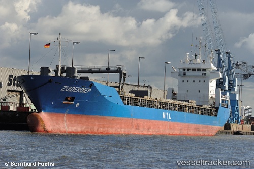
Vessel ABANA IMO: 9158070, MMSI: 314740000 General Cargo
UTC, 40.73963, 29.45882, course: 73, speed: 12
UTC, 40.76323, 29.64057, course: -1, speed: 0.4
2026-02-27 18:07:02 UTC, 40.76347, 29.64005, course: -1, speed: 0
Live AIS position:
UTC. Near HEREKE),
updated 2026-02-27 18:07:02 UTC.
Find the position of the vessel ABANA on the map. The latter are known coordinates and path.
marine traffic ship tracker show on live map
The current position of vessel ABANA is 40.76347 lat / 29.64005 lng. Updated: 2026-02-27 18:07:02 UTCCurrently sailing under the flag of Barbados
Details:
Last coordinates of the vessel:
UTC, 40.87360, 29.19688, course: 333, speed: 0.5UTC, 40.73963, 29.45882, course: 73, speed: 12
UTC, 40.76323, 29.64057, course: -1, speed: 0.4
2026-02-27 18:07:02 UTC, 40.76347, 29.64005, course: -1, speed: 0