 vesseltracker.com
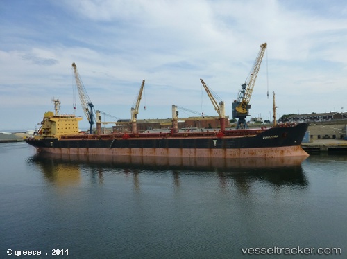
Vessel ALANYA M IMO: 9158159, MMSI: 352001406 Bulk Carrier
UTC, 4.40688, 99.38630, course: 306, speed: 11.4
UTC, 4.75049, 98.93278, course: 296, speed: 11.5
2026-02-18 01:31:05 UTC, 4.87502, 98.77587, course: 307, speed: 11.1
Live AIS position:
UTC. 50 nm NE of Kualalangsa),
updated 2026-02-18 01:31:05 UTC.
Find the position of the vessel ALANYA M on the map. The latter are known coordinates and path.
marine traffic ship tracker show on live map
The current position of vessel ALANYA M is 4.87502 lat / 98.77587 lng. Updated: 2026-02-18 01:31:05 UTCCurrently sailing under the flag of Panama
ALANYA M built in 2004 year
Deadweight:
41327 tDetails:
Last coordinates of the vessel:
UTC, 4.24219, 99.58920, course: 307, speed: 10.7UTC, 4.40688, 99.38630, course: 306, speed: 11.4
UTC, 4.75049, 98.93278, course: 296, speed: 11.5
2026-02-18 01:31:05 UTC, 4.87502, 98.77587, course: 307, speed: 11.1