 vesseltracker.com
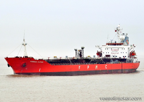
Vessel SEASTAR 1 IMO: 9163283, MMSI: 352978269 Chemical Tanker
UTC, 15.28609, 42.66001, course: 191, speed: 0
UTC, 15.28603, 42.66037, course: 198, speed: 0
2026-02-23 11:49:06 UTC, 15.28591, 42.66043, course: 201, speed: 0
Live AIS position:
UTC. Near As Salif),
updated 2026-02-23 11:49:06 UTC.
Find the position of the vessel SEASTAR 1 on the map. The latter are known coordinates and path.
marine traffic ship tracker show on live map
The current position of vessel SEASTAR 1 is 15.28591 lat / 42.66043 lng. Updated: 2026-02-23 11:49:06 UTCCurrently sailing under the flag of Panama
SEASTAR 1 built in 1998 year
Deadweight:
36234 tDetails:
Last coordinates of the vessel:
UTC, 15.28593, 42.66037, course: 203, speed: 0UTC, 15.28609, 42.66001, course: 191, speed: 0
UTC, 15.28603, 42.66037, course: 198, speed: 0
2026-02-23 11:49:06 UTC, 15.28591, 42.66043, course: 201, speed: 0