 vesseltracker.com
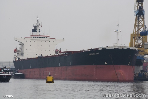
Vessel Tian Yi 18 IMO: 9164639, MMSI: 414233000 Bulk Carrier
UTC, 37.69148, 120.19838, course: 341, speed: 8.3
UTC, 38.08573, 120.12168, course: 347, speed: 10.5
2026-01-26 01:13:53 UTC, 38.29532, 120.07527, course: 340, speed: 10.3
Live AIS position:
UTC. 39 nm NW of Changdao),
updated 2026-01-26 01:13:53 UTC.
Find the position of the vessel Tian Yi 18 on the map. The latter are known coordinates and path.
marine traffic ship tracker show on live map
The current position of vessel Tian Yi 18 is 38.29532 lat / 120.07527 lng. Updated: 2026-01-26 01:13:53 UTCDetails:
Last coordinates of the vessel:
UTC, 37.67190, 120.22240, course: 146, speed: 0.1UTC, 37.69148, 120.19838, course: 341, speed: 8.3
UTC, 38.08573, 120.12168, course: 347, speed: 10.5
2026-01-26 01:13:53 UTC, 38.29532, 120.07527, course: 340, speed: 10.3