 vesseltracker.com
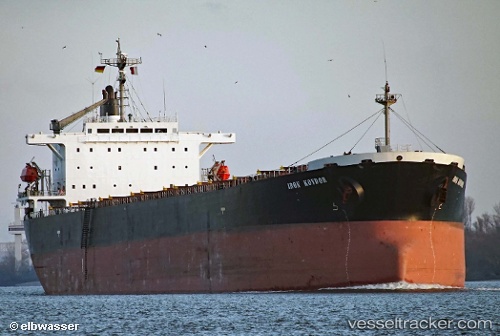
Vessel ELLA IMO: 9168465, MMSI: 356147000 Bulk Carrier
UTC, 26.42083, 120.11869, course: -1, speed: 0.1
UTC, 26.42066, 120.11869, course: -1, speed: 0.1
2026-02-25 19:18:39 UTC, 26.42034, 120.11885, course: -1, speed: 0.1
Live AIS position:
UTC. 12 nm E of Beijiao),
updated 2026-02-25 19:18:39 UTC.
Find the position of the vessel ELLA on the map. The latter are known coordinates and path.
marine traffic ship tracker show on live map
The current position of vessel ELLA is 26.42034 lat / 120.11885 lng. Updated: 2026-02-25 19:18:39 UTCCurrently sailing under the flag of Panama
ELLA built in 1998 year
Deadweight:
72474 tDetails:
Last coordinates of the vessel:
UTC, 26.41976, 120.11900, course: -1, speed: 0UTC, 26.42083, 120.11869, course: -1, speed: 0.1
UTC, 26.42066, 120.11869, course: -1, speed: 0.1
2026-02-25 19:18:39 UTC, 26.42034, 120.11885, course: -1, speed: 0.1