 vesseltracker.com
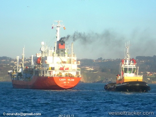
Vessel 525121015 IMO: 9172129, MMSI: 525121015
UTC, -5.59024, 105.33130, course: 158, speed: 7.9
UTC, -5.78833, 105.49833, course: -1, speed: 7
2026-01-29 09:42:28 UTC, -5.91309, 105.63772, course: 121, speed: 7.5
Live AIS position:
UTC. Near BAKAUHENI),
updated 2026-01-29 09:42:28 UTC.
Find the position of the vessel 525121015 on the map. The latter are known coordinates and path.
marine traffic ship tracker show on live map
The current position of vessel 525121015 is -5.91309 lat / 105.63772 lng. Updated: 2026-01-29 09:42:28 UTCDetails:
Last coordinates of the vessel:
UTC, -5.48274, 105.31412, course: 138, speed: 0UTC, -5.59024, 105.33130, course: 158, speed: 7.9
UTC, -5.78833, 105.49833, course: -1, speed: 7
2026-01-29 09:42:28 UTC, -5.91309, 105.63772, course: 121, speed: 7.5