 vesseltracker.com
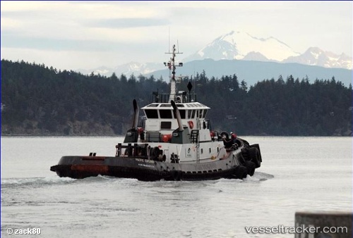
Vessel Anna T IMO: 9173501, MMSI: 368018710 Tug
UTC, 57.77647, -152.41347, course: 32, speed: 0
UTC, 57.77651, -152.41347, course: 32, speed: 0
2026-02-09 06:05:37 UTC, 57.77646, -152.41345, course: 32, speed: 0
Live AIS position:
UTC. Near Kodiak),
updated 2026-02-09 06:05:37 UTC.
Find the position of the vessel Anna T on the map. The latter are known coordinates and path.
marine traffic ship tracker show on live map
The current position of vessel Anna T is 57.77646 lat / -152.41345 lng. Updated: 2026-02-09 06:05:37 UTCDetails:
Last coordinates of the vessel:
UTC, 57.77649, -152.41335, course: 31, speed: 0UTC, 57.77647, -152.41347, course: 32, speed: 0
UTC, 57.77651, -152.41347, course: 32, speed: 0
2026-02-09 06:05:37 UTC, 57.77646, -152.41345, course: 32, speed: 0