 vesseltracker.com
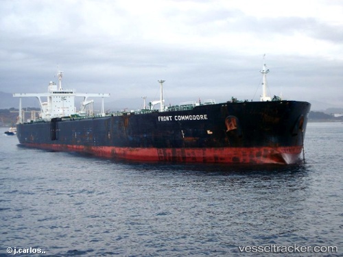
Vessel KIN A IMO: 9176993, MMSI: 620800085 Crude Oil Tanker
UTC, 0.18439, 10.11012, course: -1, speed: 0.1
UTC, 0.18333, 10.10833, course: -1, speed: 0
2026-02-25 15:49:06 UTC, 0.18333, 10.10833, course: -1, speed: 0
Live AIS position:
UTC. 28 nm SW of Wagny),
updated 2026-02-25 15:49:06 UTC.
Find the position of the vessel KIN A on the map. The latter are known coordinates and path.
marine traffic ship tracker show on live map
The current position of vessel KIN A is 0.18333 lat / 10.10833 lng. Updated: 2026-02-25 15:49:06 UTCCurrently sailing under the flag of Comoros
Details:
Last coordinates of the vessel:
UTC, 0.18333, 10.10833, course: -1, speed: 0UTC, 0.18439, 10.11012, course: -1, speed: 0.1
UTC, 0.18333, 10.10833, course: -1, speed: 0
2026-02-25 15:49:06 UTC, 0.18333, 10.10833, course: -1, speed: 0