 vesseltracker.com
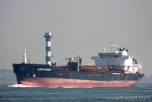
Vessel PRINCESS HALIMA IMO: 9179347, MMSI: 314514000 Chemical/Oil Products Tanker
Live AIS position:
UTC. Near KHORFAKKAN),
updated 2025-03-21 10:28:35 UTC.
Find the position of the vessel PRINCESS HALIMA on the map. The latter are known coordinates and path.
marine traffic ship tracker show on live map
The current position of vessel PRINCESS HALIMA is 25.35902 lat / 56.50867 lng. Updated: 2025-03-21 10:28:35 UTCCurrently sailing under the flag of Barbados
PRINCESS HALIMA built in 1999 year
Deadweight:
30031 tDetails:
Last coordinates of the vessel:
2025-03-21 10:28:35 UTC, 25.35902, 56.50867, course: 251, speed: 0.1