 vesseltracker.com
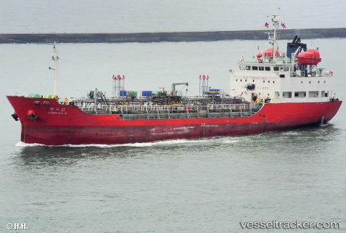
Vessel BLUE UNITY IMO: 9186170, MMSI: 457653000 Tanker
UTC, 2.82414, 101.30194, course: -1, speed: 0
UTC, 2.82439, 101.30166, course: -1, speed: 0
2026-02-26 05:32:31 UTC, 2.76370, 101.32528, course: -1, speed: 4.5
Live AIS position:
UTC. Near Banting),
updated 2026-02-26 05:32:31 UTC.
Find the position of the vessel BLUE UNITY on the map. The latter are known coordinates and path.
marine traffic ship tracker show on live map
The current position of vessel BLUE UNITY is 2.76370 lat / 101.32528 lng. Updated: 2026-02-26 05:32:31 UTCCurrently sailing under the flag of Mongolia
Details:
Last coordinates of the vessel:
UTC, 2.82414, 101.30194, course: -1, speed: 0UTC, 2.82414, 101.30194, course: -1, speed: 0
UTC, 2.82439, 101.30166, course: -1, speed: 0
2026-02-26 05:32:31 UTC, 2.76370, 101.32528, course: -1, speed: 4.5