 vesseltracker.com
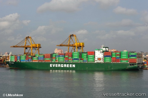
Vessel Ever Utile IMO: 9188154, MMSI: 351934000 Container Ship
UTC, 17.52989, 114.91340, course: 220, speed: 15.9
UTC, 16.98002, 114.44138, course: 218, speed: 15.6
2026-02-11 20:21:48 UTC, 16.98002, 114.44138, course: 218, speed: 15.6
Live AIS position:
UTC. 253 nm SE of Honghai),
updated 2026-02-11 20:21:48 UTC.
Find the position of the vessel Ever Utile on the map. The latter are known coordinates and path.
marine traffic ship tracker show on live map
The current position of vessel Ever Utile is 16.98002 lat / 114.44138 lng. Updated: 2026-02-11 20:21:48 UTCDetails:
Last coordinates of the vessel:
UTC, 17.78755, 115.13014, course: 218, speed: 15.9UTC, 17.52989, 114.91340, course: 220, speed: 15.9
UTC, 16.98002, 114.44138, course: 218, speed: 15.6
2026-02-11 20:21:48 UTC, 16.98002, 114.44138, course: 218, speed: 15.6