 vesseltracker.com
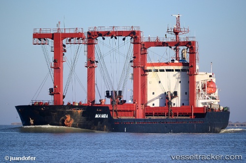
Vessel Mamba B IMO: 9189706, MMSI: 355934000 General Cargo Ship
UTC, 28.21468, 49.23442, course: 160, speed: 0
UTC, 28.18781, 49.12289, course: 263, speed: 1.7
2026-02-24 07:51:48 UTC, 28.19195, 49.11356, course: 136, speed: 1.7
Live AIS position:
UTC. 21 nm E of Bandar Al Mishab),
updated 2026-02-24 07:51:48 UTC.
Find the position of the vessel Mamba B on the map. The latter are known coordinates and path.
marine traffic ship tracker show on live map
The current position of vessel Mamba B is 28.19195 lat / 49.11356 lng. Updated: 2026-02-24 07:51:48 UTCCurrently sailing under the flag of Panama
Details:
Last coordinates of the vessel:
UTC, 28.21466, 49.23441, course: 155, speed: 0UTC, 28.21468, 49.23442, course: 160, speed: 0
UTC, 28.18781, 49.12289, course: 263, speed: 1.7
2026-02-24 07:51:48 UTC, 28.19195, 49.11356, course: 136, speed: 1.7