 vesseltracker.com
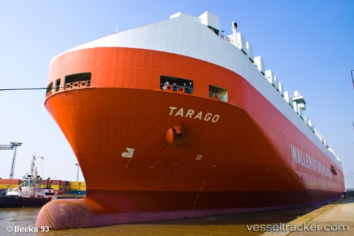
Vessel Tarago IMO: 9191321, MMSI: 257672000 Vehicles Carrier
UTC, 42.83833, -59.51667, course: -1, speed: 18
UTC, 43.07800, -58.68445, course: 71, speed: 18.1
2026-02-15 13:42:52 UTC, 43.21855, -58.18269, course: 72, speed: 18
Live AIS position:
UTC. 136 nm W of La Cruz de Illas),
updated 2026-02-15 13:42:52 UTC.
Find the position of the vessel Tarago on the map. The latter are known coordinates and path.
marine traffic ship tracker show on live map
The current position of vessel Tarago is 43.21855 lat / -58.18269 lng. Updated: 2026-02-15 13:42:52 UTCCurrently sailing under the flag of Norway
Tarago built in 2000 year
Deadweight:
39516 tDetails:
Last coordinates of the vessel:
UTC, 42.62667, -60.24833, course: -1, speed: 17UTC, 42.83833, -59.51667, course: -1, speed: 18
UTC, 43.07800, -58.68445, course: 71, speed: 18.1
2026-02-15 13:42:52 UTC, 43.21855, -58.18269, course: 72, speed: 18