 vesseltracker.com
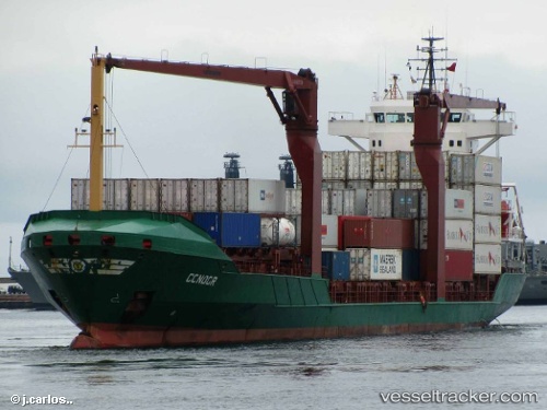
Vessel Condor IMO: 9191632, MMSI: 725017700 Container Ship
UTC, -51.81134, -73.83942, course: 146, speed: 12.5
UTC, -51.98940, -73.67234, course: 221, speed: 12.8
2026-02-08 10:19:51 UTC, -52.53616, -73.62918, course: 220, speed: 12.6
Live AIS position:
UTC. Near Isla Guarello),
updated 2026-02-08 10:19:51 UTC.
Find the position of the vessel Condor on the map. The latter are known coordinates and path.
marine traffic ship tracker show on live map
The current position of vessel Condor is -52.53616 lat / -73.62918 lng. Updated: 2026-02-08 10:19:51 UTCDetails:
Last coordinates of the vessel:
UTC, -51.24787, -74.13247, course: 164, speed: 12.9UTC, -51.81134, -73.83942, course: 146, speed: 12.5
UTC, -51.98940, -73.67234, course: 221, speed: 12.8
2026-02-08 10:19:51 UTC, -52.53616, -73.62918, course: 220, speed: 12.6