 vesseltracker.com
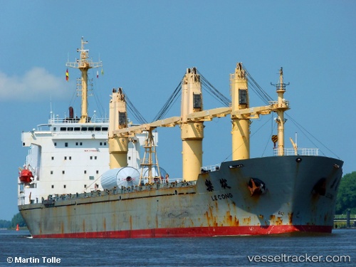
Vessel H CACHALOT IMO: 9192686, MMSI: 352003503 General Cargo
UTC, 17.91833, 124.68167, course: -1, speed: 12
UTC, 18.30833, 124.59500, course: -1, speed: 12
2026-02-27 11:26:21 UTC, 18.58000, 124.53833, course: -1, speed: 12
Live AIS position:
UTC. 139 nm E of Port Irene),
updated 2026-02-27 11:26:21 UTC.
Find the position of the vessel H CACHALOT on the map. The latter are known coordinates and path.
marine traffic ship tracker show on live map
The current position of vessel H CACHALOT is 18.58000 lat / 124.53833 lng. Updated: 2026-02-27 11:26:21 UTCCurrently sailing under the flag of Panama
Details:
Last coordinates of the vessel:
UTC, 17.35833, 124.79667, course: -1, speed: 13UTC, 17.91833, 124.68167, course: -1, speed: 12
UTC, 18.30833, 124.59500, course: -1, speed: 12
2026-02-27 11:26:21 UTC, 18.58000, 124.53833, course: -1, speed: 12