 vesseltracker.com
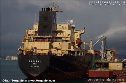
Vessel Harmony IMO: 9192741, MMSI: 419001382 Chemical Oil Products Tanker
2026-02-07 05:50:15 UTC, -37.48927, -49.64224, course: 143, speed: 83.7
Live AIS position:
UTC. 277 nm SE of LA PALOMA),
updated 2026-02-07 05:50:15 UTC.
Find the position of the vessel Harmony on the map. The latter are known coordinates and path.
marine traffic ship tracker show on live map
The current position of vessel Harmony is -37.48927 lat / -49.64224 lng. Updated: 2026-02-07 05:50:15 UTCCurrently sailing under the flag of India
Harmony built in 1999 year
Deadweight:
35966 tDetails:
Last coordinates of the vessel:
UTC, -37.48927, -49.64224, course: 143, speed: 83.72026-02-07 05:50:15 UTC, -37.48927, -49.64224, course: 143, speed: 83.7