 vesseltracker.com
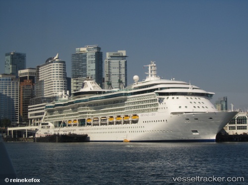
Vessel Radiance Of The Seas IMO: 9195195, MMSI: 311319000 Cruise Ship
UTC, 26.08144, -80.11469, course: 5, speed: 0.8
UTC, 26.08118, -80.11485, course: 8, speed: 0
2026-02-14 11:54:40 UTC, 26.08118, -80.11485, course: 8, speed: 0
Live AIS position:
UTC. Near Port Everglades),
updated 2026-02-14 11:54:40 UTC.
Find the position of the vessel Radiance Of The Seas on the map. The latter are known coordinates and path.
marine traffic ship tracker show on live map
The current position of vessel Radiance Of The Seas is 26.08118 lat / -80.11485 lng. Updated: 2026-02-14 11:54:40 UTCDetails:
Last coordinates of the vessel:
UTC, 26.07731, -79.66907, course: 257, speed: 8.6UTC, 26.08144, -80.11469, course: 5, speed: 0.8
UTC, 26.08118, -80.11485, course: 8, speed: 0
2026-02-14 11:54:40 UTC, 26.08118, -80.11485, course: 8, speed: 0