 vesseltracker.com
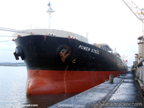
Vessel Heng Tong Hai IMO: 9195327, MMSI: 413988000 Bulk Carrier
UTC, 22.19845, 115.23442, course: 67, speed: 11.4
UTC, 22.37625, 115.77462, course: 79, speed: 11.2
2026-02-16 07:55:09 UTC, 22.46938, 116.08167, course: 64, speed: 11.2
Live AIS position:
UTC. 24 nm S of Jiazi),
updated 2026-02-16 07:55:09 UTC.
Find the position of the vessel Heng Tong Hai on the map. The latter are known coordinates and path.
marine traffic ship tracker show on live map
The current position of vessel Heng Tong Hai is 22.46938 lat / 116.08167 lng. Updated: 2026-02-16 07:55:09 UTCDetails:
Last coordinates of the vessel:
UTC, 22.09842, 114.93183, course: 67, speed: 11.5UTC, 22.19845, 115.23442, course: 67, speed: 11.4
UTC, 22.37625, 115.77462, course: 79, speed: 11.2
2026-02-16 07:55:09 UTC, 22.46938, 116.08167, course: 64, speed: 11.2