 vesseltracker.com
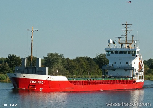
Vessel MARAS IMO: 9195834, MMSI: 304345000 General Cargo
UTC, 37.20410, -6.08959, course: 43, speed: 10.1
UTC, 37.20410, -6.08959, course: 43, speed: 10.1
2026-03-04 14:48:15 UTC, 37.20410, -6.08959, course: 43, speed: 10.1
Live Vessel MARAS Analytics (details, animations, etc.)
Live AIS position: UTC. Near La Puebla Del Rio), updated 2026-03-04 14:48:15 UTC.Find the position of the vessel MARAS on the map. The latter are known coordinates and path.
marine traffic ship tracker show on live map
The current position of vessel MARAS is 37.20410 lat / -6.08959 lng. Updated: 2026-03-04 14:48:15 UTCCurrently sailing under the flag of Antigua and Barbuda
Details:
Last coordinates of the vessel:
UTC, 36.90899, -6.27257, course: -1, speed: 9.5UTC, 37.20410, -6.08959, course: 43, speed: 10.1
UTC, 37.20410, -6.08959, course: 43, speed: 10.1
2026-03-04 14:48:15 UTC, 37.20410, -6.08959, course: 43, speed: 10.1