 vesseltracker.com
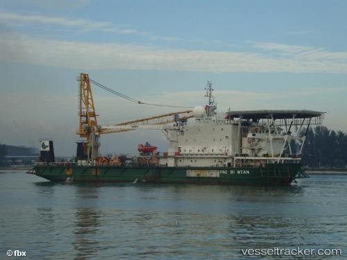
Vessel Os Two IMO: 9201114, MMSI: 533180016 Offshore Support Vessel
UTC, 1.28130, 103.76429, course: -1, speed: 0
UTC, 1.28130, 103.76429, course: -1, speed: 0
2026-02-03 15:47:39 UTC, 1.28130, 103.76429, course: -1, speed: 0
Live AIS position:
UTC. Near PASIR PANJANG Terminal),
updated 2026-02-03 15:47:39 UTC.
Find the position of the vessel Os Two on the map. The latter are known coordinates and path.
marine traffic ship tracker show on live map
The current position of vessel Os Two is 1.28130 lat / 103.76429 lng. Updated: 2026-02-03 15:47:39 UTCDetails:
Last coordinates of the vessel:
UTC, 1.28130, 103.76429, course: -1, speed: 0UTC, 1.28130, 103.76429, course: -1, speed: 0
UTC, 1.28130, 103.76429, course: -1, speed: 0
2026-02-03 15:47:39 UTC, 1.28130, 103.76429, course: -1, speed: 0