 vesseltracker.com
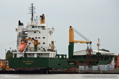
Vessel ILHA DA MADEIRA IMO: 9202077, MMSI: 255915714 General Cargo
UTC, 38.53248, -28.62140, course: 352, speed: 0
UTC, 38.53257, -28.62137, course: 352, speed: 0
2026-02-27 18:12:47 UTC, 38.53257, -28.62137, course: 352, speed: 0
Live AIS position:
UTC. Near Horta),
updated 2026-02-27 18:12:47 UTC.
Find the position of the vessel ILHA DA MADEIRA on the map. The latter are known coordinates and path.
marine traffic ship tracker show on live map
The current position of vessel ILHA DA MADEIRA is 38.53257 lat / -28.62137 lng. Updated: 2026-02-27 18:12:47 UTCCurrently sailing under the flag of Portugal
Details:
Last coordinates of the vessel:
UTC, 38.53250, -28.62135, course: 353, speed: 0UTC, 38.53248, -28.62140, course: 352, speed: 0
UTC, 38.53257, -28.62137, course: 352, speed: 0
2026-02-27 18:12:47 UTC, 38.53257, -28.62137, course: 352, speed: 0