 vesseltracker.com
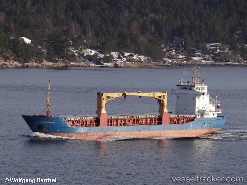
Vessel SANTA BARBARA IMO: 9210048, MMSI: 314788000 General Cargo
UTC, 12.11705, -68.91451, course: 186, speed: 0
UTC, 12.11839, -68.92199, course: 276, speed: 7.5
2026-02-25 17:42:39 UTC, 12.14002, -69.15598, course: 277, speed: 7.4
Live AIS position:
UTC. Near Bullenbaai),
updated 2026-02-25 17:42:39 UTC.
Find the position of the vessel SANTA BARBARA on the map. The latter are known coordinates and path.
marine traffic ship tracker show on live map
The current position of vessel SANTA BARBARA is 12.14002 lat / -69.15598 lng. Updated: 2026-02-25 17:42:39 UTCCurrently sailing under the flag of Barbados
Details:
Last coordinates of the vessel:
UTC, 12.11705, -68.91451, course: 186, speed: 0UTC, 12.11705, -68.91451, course: 186, speed: 0
UTC, 12.11839, -68.92199, course: 276, speed: 7.5
2026-02-25 17:42:39 UTC, 12.14002, -69.15598, course: 277, speed: 7.4