 vesseltracker.com
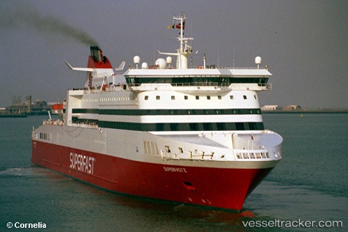
Vessel A NEPITA IMO: 9211511, MMSI: 209939000 Ro-Ro/Passenger Ship
UTC, 37.95881, 23.56331, course: 185, speed: 0
UTC, 37.95881, 23.56331, course: 184, speed: 0
2026-02-26 18:13:13 UTC, 37.95880, 23.56332, course: 184, speed: 0
Live AIS position:
UTC. Near PERAMA),
updated 2026-02-26 18:13:13 UTC.
Find the position of the vessel A NEPITA on the map. The latter are known coordinates and path.
marine traffic ship tracker show on live map
The current position of vessel A NEPITA is 37.95880 lat / 23.56332 lng. Updated: 2026-02-26 18:13:13 UTCCurrently sailing under the flag of Cyprus
Details:
Last coordinates of the vessel:
UTC, 37.95881, 23.56331, course: 185, speed: 0UTC, 37.95881, 23.56331, course: 185, speed: 0
UTC, 37.95881, 23.56331, course: 184, speed: 0
2026-02-26 18:13:13 UTC, 37.95880, 23.56332, course: 184, speed: 0