 vesseltracker.com
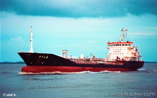
Vessel CHEMTRANS IMO: 9211664, MMSI: 511101625 Chemical Tanker
UTC, 25.49241, 55.41564, course: 260, speed: 0.1
UTC, 25.49245, 55.41564, course: -1, speed: 0.2
2026-02-26 14:21:36 UTC, 25.49198, 55.41573, course: -1, speed: 0.1
Live AIS position:
UTC. Near HAMRIYA),
updated 2026-02-26 14:21:36 UTC.
Find the position of the vessel CHEMTRANS on the map. The latter are known coordinates and path.
marine traffic ship tracker show on live map
The current position of vessel CHEMTRANS is 25.49198 lat / 55.41573 lng. Updated: 2026-02-26 14:21:36 UTCCurrently sailing under the flag of Palau
Details:
Last coordinates of the vessel:
UTC, 25.49259, 55.41542, course: -1, speed: 0.4UTC, 25.49241, 55.41564, course: 260, speed: 0.1
UTC, 25.49245, 55.41564, course: -1, speed: 0.2
2026-02-26 14:21:36 UTC, 25.49198, 55.41573, course: -1, speed: 0.1