 vesseltracker.com
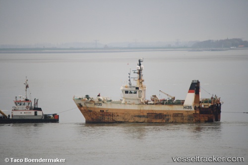
Vessel Farnellah135 IMO: 9211808, MMSI: 232008020 Fishing Vessel
UTC, 26.86855, 50.01313, course: 357, speed: 6.1
UTC, 26.86855, 50.01313, course: 357, speed: 6.1
2026-01-30 06:26:44 UTC, 26.86855, 50.01313, course: 357, speed: 6.1
Live AIS position:
UTC. 15 nm NW of Ras Tannurah),
updated 2026-01-30 06:26:44 UTC.
Find the position of the vessel Farnellah135 on the map. The latter are known coordinates and path.
marine traffic ship tracker show on live map
The current position of vessel Farnellah135 is 26.86855 lat / 50.01313 lng. Updated: 2026-01-30 06:26:44 UTCCurrently sailing under the flag of United Kingdom
Farnellah135 built in 2000 year
Deadweight:
300 tDetails:
Last coordinates of the vessel:
UTC, 2.85085, 112.28781, course: 10, speed: 0UTC, 26.86855, 50.01313, course: 357, speed: 6.1
UTC, 26.86855, 50.01313, course: 357, speed: 6.1
2026-01-30 06:26:44 UTC, 26.86855, 50.01313, course: 357, speed: 6.1