 vesseltracker.com
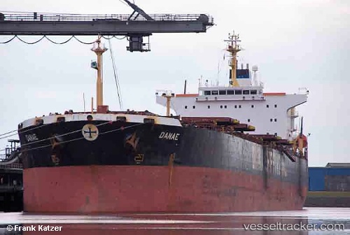
Vessel ONE HOPE IMO: 9212125, MMSI: 355515000 Bulk Carrier
UTC, 25.25159, 56.50471, course: 296, speed: 0.1
UTC, 25.25241, 56.50486, course: -1, speed: 0
2026-02-26 21:36:19 UTC, 25.25141, 56.50437, course: -1, speed: 0
Live AIS position:
UTC. Near Fujairah),
updated 2026-02-26 21:36:19 UTC.
Find the position of the vessel ONE HOPE on the map. The latter are known coordinates and path.
marine traffic ship tracker show on live map
The current position of vessel ONE HOPE is 25.25141 lat / 56.50437 lng. Updated: 2026-02-26 21:36:19 UTCCurrently sailing under the flag of Panama
ONE HOPE built in 2001 year
Deadweight:
75106 tDetails:
Last coordinates of the vessel:
UTC, 25.25201, 56.50469, course: 284, speed: 0.1UTC, 25.25159, 56.50471, course: 296, speed: 0.1
UTC, 25.25241, 56.50486, course: -1, speed: 0
2026-02-26 21:36:19 UTC, 25.25141, 56.50437, course: -1, speed: 0