 vesseltracker.com
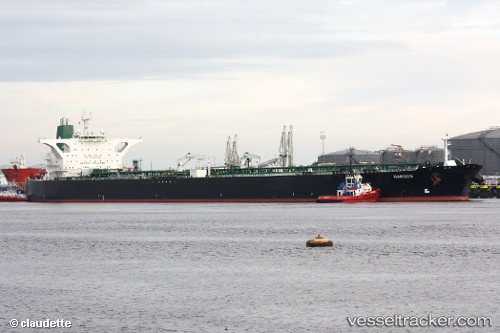
Vessel Henna IMO: 9212929, MMSI: 422222000 Crude Oil Tanker
UTC, 38.55011, 119.61308, course: -1, speed: 9.8
UTC, 38.55011, 119.61308, course: -1, speed: 9.8
2026-02-11 14:33:59 UTC, 38.55011, 119.61308, course: -1, speed: 9.8
Live AIS position:
UTC. 41 nm NE of DONGYING),
updated 2026-02-11 14:33:59 UTC.
Find the position of the vessel Henna on the map. The latter are known coordinates and path.
marine traffic ship tracker show on live map
The current position of vessel Henna is 38.55011 lat / 119.61308 lng. Updated: 2026-02-11 14:33:59 UTCDetails:
Last coordinates of the vessel:
UTC, 38.37637, 119.57715, course: -1, speed: 4.5UTC, 38.55011, 119.61308, course: -1, speed: 9.8
UTC, 38.55011, 119.61308, course: -1, speed: 9.8
2026-02-11 14:33:59 UTC, 38.55011, 119.61308, course: -1, speed: 9.8