 vesseltracker.com
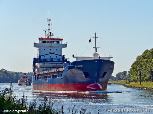
Vessel STOLYA IMO: 9213894, MMSI: 314001074 General Cargo
UTC, 40.87667, 29.18167, course: -1, speed: 1
UTC, 40.73141, 29.28398, course: 114, speed: 5.7
2026-02-25 05:24:02 UTC, 40.76427, 29.58659, course: 39, speed: 5.7
Live AIS position:
UTC. Near HEREKE),
updated 2026-02-25 05:24:02 UTC.
Find the position of the vessel STOLYA on the map. The latter are known coordinates and path.
marine traffic ship tracker show on live map
The current position of vessel STOLYA is 40.76427 lat / 29.58659 lng. Updated: 2026-02-25 05:24:02 UTCCurrently sailing under the flag of Barbados
Details:
Last coordinates of the vessel:
UTC, 40.87614, 29.18458, course: 304, speed: 0UTC, 40.87667, 29.18167, course: -1, speed: 1
UTC, 40.73141, 29.28398, course: 114, speed: 5.7
2026-02-25 05:24:02 UTC, 40.76427, 29.58659, course: 39, speed: 5.7