 vesseltracker.com
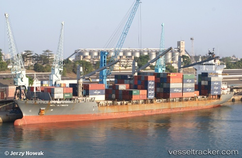
Vessel Altonia IMO: 9217553, MMSI: 255805945 Container Ship
Live AIS position:
UTC. 20 nm NE of TENES),
updated 2025-09-16 03:52:21 UTC.
Find the position of the vessel Altonia on the map. The latter are known coordinates and path.
marine traffic ship tracker show on live map
The current position of vessel Altonia is 36.77880 lat / 1.59671 lng. Updated: 2025-09-16 03:52:21 UTCCurrently sailing under the flag of Liberia
Altonia built in 2000 year
Deadweight:
22968 tDetails:
Last coordinates of the vessel:
2025-09-16 03:52:21 UTC, 36.77880, 1.59671, course: 79, speed: 74.8